Coastal Habitat Mapping Project
OverviewSignificant increases in population and development along the coast are applying pressure on the fragile terrestrial and marine resources of Saint Lucia. Between 1995 and 2000, reefs along the central west coast lost an average of 47% coral cover in shallow water and 48% in deeper water.
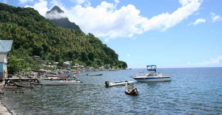
Saint Lucia’s coastal zone is characterized by mangroves, sea grass beds and coral reefs which not only play an increasingly important role in tourism but are also an integral component in natural coastal defense and the ecology of the island.
These marine habitats are significant in the coastal zone management process, since anything which encroaches on them can reduce:
- Their integrity and subsequently affect shoreline stability
- Their relative levels of marine productivity and
- The feasibility and visibility of commercially important species and the habitats and life cycles of important marine species


The project had as its main objective the sensitization of stakeholders regarding the need to protect and preserve coastal habitats and resources in physical development plans. The initiative was implemented by the Sustainable Development & Environmental Section of the Ministry of Planning, Development, Environment and Housing, and was funded under the SFA 2003 Programme – Economic and Agricultural Diversification and Poverty Reduction through Integrated Natural Resources Management (INRMP) (EMF). The EMF, managed by the Banana Industry Trust and the Office of the National Authorizing Officer (NAO), provided the overall coordination, monitoring and general guidance to the programme. The contract was awarded to the Consortium FUGRO GEOID and WS Atkins International Ltd.
A team of scientists working with the Ministry of Physical Development and the Environment conducted one of the most significant initiatives that have been undertaken by the Government of Saint Lucia with respect to the environment: the ‘Coastal Habitat Mapping Project’.
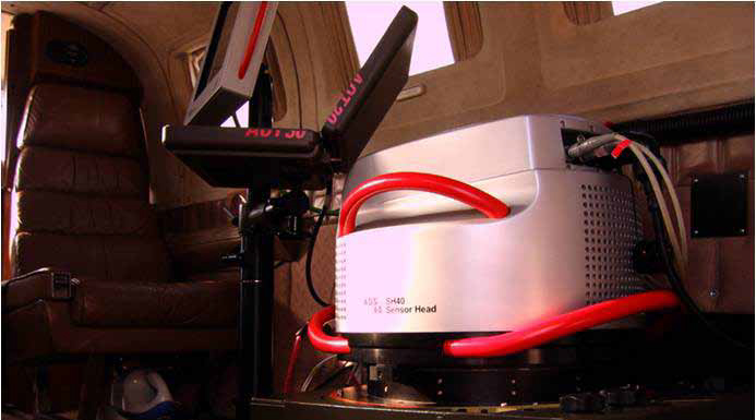
The outcome of the project was the development of a map of the coastal habitat from Roseau Bay to Saltibus Point through aerial photography and field assessments, thereby equipping the planning and environmental management ministries and agencies with the tools to monitor and better manage the development of Saint Lucia’s coastline. Because of this, the collecting of baseline data for coastal habitats and resources has been made possible.
It served many purposes:
- To capture baseline data for monitoring marine environmental quality
- To promote better use of coastal habitats and resources
- To improve consideration of the need to protect and preserve coastal habitats and resources in physical development plans


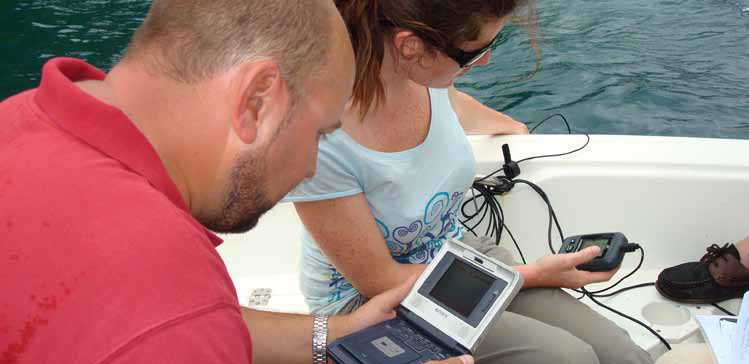
The field assessment was led by Dr. Martin Le Tissier of Envision Mapping in the UK. The team verified the accuracy of mapped areas of the coastal habitat boundaries obtained through aerial images and collected baseline information on ecosystem health and quality. This is of crucial importance as significant increases in population and development along the coast are applying pressure on the island’s fragile resources.
The establishment of the baseline data is necessary to allow for better informed planning and development approval decisions. The baseline data acquired under this project will also assist environmental agencies in monitoring the impact of coastal developments on the surrounding habitats.
